Derby
Airport details
| Country | United Kingdom |
| State | England |
| Region | EG |
| Airspace | London Ctr |
| Municipality | South Derbyshire |
| Elevation | 172ft (52m) |
| Timezone | GMT +0 |
| Coordinates | 52.85972, -1.61750 |
| Magnetic var | |
| Type | land |
| Available since | X-Plane v10.40 |
| ICAO code | EGBD |
| IATA code | n/a |
| FAA code | n/a |
Communication
Nearby Points of Interest:
Dovecliff Hall
-Monks Bridge
-Repton Priory
-Burton upon Trent Town Hall
-Burton Abbey
-Radbourne Hall
-Bretby Hall
-Foremarke Hall
-Heath Wood barrow cemetery
-Medieval settlement, including site of chapel and part of the open field system, immediately north east of Alkmonton Old Hall Fa
-Swarkestone Bridge
-Dunstall Hall
-Derby Central School of Art
-Derby Central Library
-Old Grammar School
-County Hall
-Guildhall Theatre
-Walton Hall
-Ednaston Manor
-Brocksford Hall
-Yeaveley Preceptory
-Allestree Hall
-Staunton Harold Hall
-Catton Hall
-Aston Hall, Aston-on-Trent
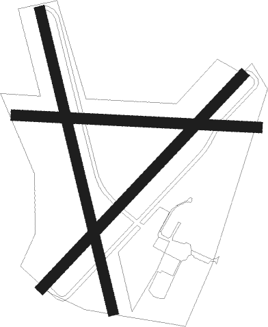
Runway info
Runway 17 / 35  | ||
| length | 576m (1890ft) | |
| bearing | 165° / 345° | |
| width | 20m (66ft) | |
| surface | grass | |
| Runway 05 / 23 | ||
| length | 546m (1791ft) | |
| bearing | 61° / 241° | |
| width | 20m (66ft) | |
| surface | grass | |
| Runway 10 / 28 | ||
| length | 454m (1490ft) | |
| bearing | 94° / 274° | |
| width | 20m (66ft) | |
| surface | grass | |
Nearby beacons
| code | identifier | dist | bearing | frequency |
|---|---|---|---|---|
| TNL | TATENHILL NDB | 6 | 253° | 327 |
| EMW | EAST MIDLANDS NDB | 6.2 | 101° | 393 |
| TNT | TRENT VOR/DME | 11.8 | 345° | 115.70 |
| EME | EAST MIDLANDS NDB | 15.4 | 94° | 353 |
| BHX | BIRMINGHAM NDB | 24.8 | 198° | 406 |
| LE | LEICESTER NDB | 26 | 114° | 383 |
| HON | HONILEY VOR/DME | 30.2 | 185° | 113.65 |
| WBA | WOLVERHAMPTON NDB | 31.2 | 242° | 356 |
| WOL | DME | 31.2 | 242° | 108.60 |
| GAM | GAMSTON VOR/DME | 35 | 58° | 112.80 |
| MCT | MANCHESTER VOR/DME | 37.8 | 308° | 113.55 |
| FNY | DONCASTER SHEFFIELD NDB | 43 | 45° | 338 |
| DTY | DAVENTRY VOR/DME | 44.7 | 143° | 116.40 |
| POL | POLE HILL VOR/DME | 55.8 | 331° | 112.10 |
| SBL | SHERBURN-IN-ELMET NDB | 57.7 | 24° | 323 |
| GST | GLOUCESTERSHIRE NDB | 61.5 | 210° | 331 |
Disclaimer
The information on this website is not for real aviation. Use this data with the X-Plane flight simulator only! Data taken with kind consent from X-Plane 12 source code and data files. Content is subject to change without notice.