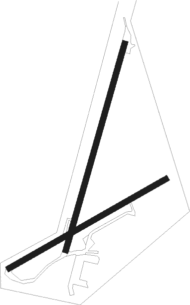
Belfast - Langford Lodge
Airport details
| Country | United Kingdom |
| State | Northern Ireland |
| Region | EG |
| Airspace | Scottish Ctr |
| Municipality | County Antrim |
| Elevation | 82ft (25m) |
| Timezone | GMT +0 |
| Coordinates | 54.61543, -6.31075 |
| Magnetic var | |
| Type | land |
| Available since | X-Plane v10.40 |
| ICAO code | EGAL |
| IATA code | n/a |
| FAA code | n/a |
Communication
Nearby Points of Interest:
Banbridge Town Hall
-Carrickfergus Borough Council Town Hall Joymount Carrickfergus Co. Antrim Bt38 7dl
-St Patrick's Cathedral
-The Bishop's Palace Armagh
-Town Hall Upper Cross Street Larne Co Antrim Bt40 1sz

Nearby beacons
| code | identifier | dist | bearing | frequency |
|---|---|---|---|---|
| BEL | BELFAST VOR/DME | 3.9 | 60° | 117.20 |
| OY | BELFAST/ALDERGROVE NDB | 9.1 | 71° | 332 |
| HB | BELFAST CITY NDB | 15.2 | 89° | 420 |
| EGT | LONDONDERRY NDB | 39 | 297° | 328 |
| MCM | DME | 47.1 | 220° | 114.40 |
| CBL | CAMPBELTOWN NDB | 53.7 | 37° | 380 |
| MAC | MACHRIHANISH VOR/DME | 53.9 | 39° | 116 |
| GMN | GORMANSTON NDB | 58.1 | 175° | 334 |
| GMN | DME | 58.2 | 176° | 112.90 |
Disclaimer
The information on this website is not for real aviation. Use this data with the X-Plane flight simulator only! Data taken with kind consent from X-Plane 12 source code and data files. Content is subject to change without notice.