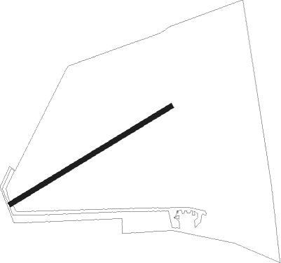
Norfolk - Little Snoring
Airport details
| Country | United Kingdom |
| State | England |
| Region | EG |
| Airspace | London Ctr |
| Municipality | North Norfolk |
| Elevation | 194ft (59m) |
| Timezone | GMT +0 |
| Coordinates | 52.85934, 0.89982 |
| Magnetic var | |
| Type | land |
| Available since | X-Plane v10.40 |
| ICAO code | EG65 |
| IATA code | n/a |
| FAA code | n/a |
Communication
| Little Snoring Little Snoring Radio | 118.130 |
Nearby Points of Interest:
Lower Green Mill, Hindringham
-Egmere medieval settlement
-Waterden medieval settlement remains
-Melton Constable Hall
-Sennowe Hall
-Raynham Hall
-Bloodgate Hill Iron Age Fort
-Coxford Priory
-Bayfield Hall
-North Norfolk Coast Site of Special Scientific Interest
-Blakeney Windmill
-Iron Age fort 900m north east of Dale Hole Cottage
-Union Mills, Burnham Overy
-Burnham Norton Friary
-Blakeney Chapel
-Burnham Westgate Hall
-Burnham Overy Staithe Windmill
-Home Place
-Kelling Hall
-Bylaugh Hall
-Houghton Hall
-Heydon Hall
-Kelling Heath
-Salle Park
-Mannington Hall
Nearby beacons
| code | identifier | dist | bearing | frequency |
|---|---|---|---|---|
| MAM | MARHAM TACAN | 17.7 | 238° | 108.70 |
| NWI | NORWICH NDB | 17.9 | 115° | 342 |
| LKH | LAKENHEATH TACAN | 30 | 218° | 110.20 |
| MLD | MILDENHALL TACAN | 33.3 | 220° | 115.90 |
| CGY | CONINGSBY TACAN | 41 | 282° | 111.10 |
| WTZ | WATTISHAM TACAN | 44.3 | 177° | 109.30 |
| CAM | CAMBRIDGE NDB | 46.9 | 228° | 332 |
| CWZ | CRANWELL TACAN | 51.1 | 277° | 117.40 |
| CWL | CRANWELL NDB | 51.2 | 277° | 423 |
| WIT | WITTERING TACAN | 53 | 260° | 117.60 |
| WAD | WADDINGTON TACAN | 54.7 | 282° | 117.10 |
| BKY | BARKWAY VOR/DME | 60.5 | 224° | 116.25 |
| OTR | OTTRINGHAM VOR/DME | 61.9 | 310° | 113.90 |
| KIM | HUMBERSIDE NDB | 62.2 | 300° | 365 |
| CIT | CRANFIELD NDB | 68.9 | 243° | 850 |
| GAM | GAMSTON VOR/DME | 71.3 | 283° | 112.80 |
| LUT | LUTON NDB | 71.7 | 230° | 345 |
| LE | LEICESTER NDB | 71.9 | 263° | 383 |
Disclaimer
The information on this website is not for real aviation. Use this data with the X-Plane flight simulator only! Data taken with kind consent from X-Plane 12 source code and data files. Content is subject to change without notice.