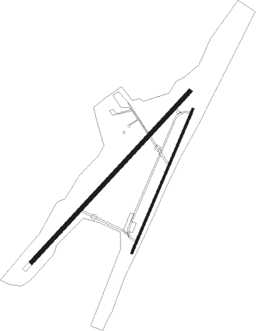
Alajärvi - Menkijarvi
Airport details
| Country | Finland |
| State | Western Finland |
| Region | EF |
| Airspace | Helsinki Ctr |
| Municipality | Alajärvi |
| Elevation | 331ft (101m) |
| Timezone | GMT +2 |
| Coordinates | 62.94667, 23.51889 |
| Magnetic var | |
| Type | land |
| Available since | X-Plane v10.40 |
| ICAO code | EFME |
| IATA code | n/a |
| FAA code | n/a |
Communication
| Menkijarvi Menkijarvi Radio | 123.500 |

Nearby beacons
| code | identifier | dist | bearing | frequency |
|---|---|---|---|---|
| IJ | INDIA-JULIETT (SEINAJOKI) NDB | 24.1 | 247° | 382 |
| O | OSCAR (SEINAJOKI) NDB | 24.3 | 251° | 408 |
| PSJ | SEINAJOKI NDB | 24.3 | 242° | 352 |
| ESS | ESSE (KOKKOLA-PIETARSAARI) NDB | 42.9 | 329° | 398 |
| V | VICTOR (KOKKOLA-PIETARSAARI) NDB | 46.5 | 333° | 339 |
| KRU | KRUUNU (KOKKOLA-PIETARSAARI) NDB | 51.5 | 338° | 388 |
Disclaimer
The information on this website is not for real aviation. Use this data with the X-Plane flight simulator only! Data taken with kind consent from X-Plane 12 source code and data files. Content is subject to change without notice.