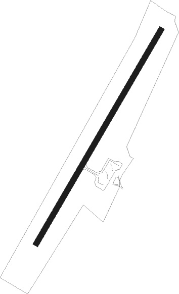
Enontekio
Airport details
| Country | Finland |
| State | Lapland |
| Region | EF |
| Airspace | Helsinki Ctr |
| Municipality | Enontekiö |
| Elevation | 1003ft (306m) |
| Timezone | GMT +2 |
| Coordinates | 68.36444, 23.42750 |
| Magnetic var | |
| Type | land |
| Available since | X-Plane v10.40 |
| ICAO code | EFET |
| IATA code | ENF |
| FAA code | n/a |
Communication
| Enontekio ATIS | 134.825 |
| Enontekio AFIS | 122.450 |
| Enontekio AFIS | 119.700 |
Approach frequencies
| ILS-cat-I | RW21 | 111.3 | 18.00mi |
| 3.5° GS | RW21 | 111.3 | 18.00mi |
Nearby Points of Interest:
Ungelo croft
Instrument approach procedures
| runway | airway (heading) | route (dist, bearing) |
|---|---|---|
| RW03 | LIMRO (293°) | LIMRO 3800ft RUMUT (12mi, 269°) 3800ft PETOB (6mi, 22°) 2400ft |
| RW03 | RUMUT (45°) | RUMUT 3800ft PETOB (6mi, 22°) 2400ft |
| RNAV | PETOB 2400ft EFET (5mi, 62°) 1050ft KUXIT (11mi, 62°) 3800ft | |
| RW21 | IBOTI (258°) | IBOTI 3800ft KUXIT (5mi, 284°) 3800ft |
| RW21 | KUXIT (242°) | KUXIT 3800ft |
| RW21 | NOTVA (206°) | NOTVA 3800ft KUXIT (5mi, 104°) 3800ft |
| RNAV | KUXIT 3800ft MIVDA (5mi, 242°) 3100ft EFET (6mi, 242°) 1058ft ET361 (6mi, 242°) ET362 (6mi, 100°) KUXIT (17mi, 30°) 3800ft |
Disclaimer
The information on this website is not for real aviation. Use this data with the X-Plane flight simulator only! Data taken with kind consent from X-Plane 12 source code and data files. Content is subject to change without notice.