Pfatter - Griesau
Airport details
| Country | Germany |
| State | Bavaria |
| Region | ED |
| Airspace | Munich Ctr |
| Municipality | Pfatter |
| Elevation | 1059ft (323m) |
| Timezone | GMT +1 |
| Coordinates | 48.95367, 12.42133 |
| Magnetic var | |
| Type | land |
| Available since | X-Plane v10.40 |
| ICAO code | EDPG |
| IATA code | n/a |
| FAA code | n/a |
Communication
| Griesau Griesau Info | 122.600 |
Nearby Points of Interest:
Burgstall Tiefenthal
-Burgstall Auburg
-Rathaus Straubing
-Schöpfwerk Straubing
-Hofmarkschloss Aufhausen
-St. Veit (Straubing)
-Herrenhaus Nussermühle
-Synagogue (Straubing)
-Rathaus Geiselhöring
-St. Jacob
-Schloss Hainsbach
-Burgstall Oberlichtenwald
-Rathaus, ehemaliges Pflegamt
-Gäubodenkaserne
-Schloss Barbing
-Burg Traubling
-Schöpfwerk Alte Kinsach
-Ehemaliges Rathaus
-Ehemaliger Pfarrhof
-Sankt Josef (Mitterfels)
-St. Leonhard
-Hien-Sölde
-Burg Adlmannstein
-Burg Bogen
-Pilgrimage Church of the Ascension
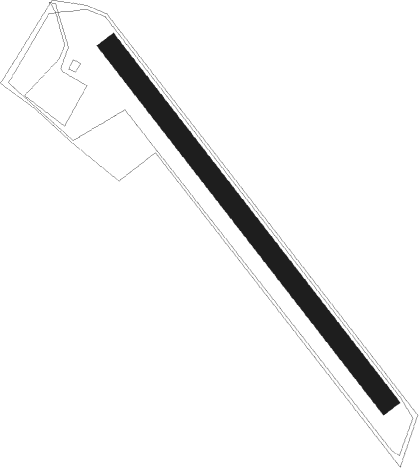
Runway info
| Runway 14 / 32 | ||
| length | 415m (1362ft) | |
| bearing | 135° / 315° | |
| width | 19m (62ft) | |
| surface | grass | |
Nearby beacons
| code | identifier | dist | bearing | frequency |
|---|---|---|---|---|
| RDG | RODING VOR/DME | 6.6 | 51° | 114.70 |
| HFX | HOHENFELS NDB | 27.2 | 295° | 286 |
| IGL | INGOLSTADT NDB | 33.3 | 254° | 345 |
| IGL | INGOLSTADT TACAN | 36.5 | 255° | 111.40 |
| MIQ | MIKE NDB | 39.9 | 245° | 426 |
| MNW | MUNICH NDB | 40.1 | 221° | 338 |
| MSW | MUNICH NDB | 41.5 | 221° | 400 |
| DMN | DME | 43.1 | 227° | 116 |
| DMS | DME | 44.7 | 226° | 115 |
| MNE | MUNICH NDB | 46.5 | 231° | 369 |
| GRF | GRAFENWOHR TACAN | 48.1 | 327° | 111.80 |
| MSE | MUNICH NDB | 48.1 | 231° | 358 |
| GRW | GRAFENWOHR NDB | 48.2 | 327° | 405 |
| OTT | OTTERSBERG VOR/DME | 52.2 | 218° | 112.30 |
| SBG | SALZBURG VOR/DME | 60.1 | 154° | 113.80 |
| SBG | SALZBURG NDB | 62.1 | 154° | 382 |
Disclaimer
The information on this website is not for real aviation. Use this data with the X-Plane flight simulator only! Data taken with kind consent from X-Plane 12 source code and data files. Content is subject to change without notice.