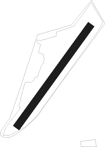
Bergneustadt - Bergneustadt-auf Dem Duempel
Airport details
| Country | Germany |
| State | North Rhine-Westphalia |
| Region | ED |
| Airspace | Langen Ctr |
| Municipality | Bergneustadt |
| Elevation | 1604ft (489m) |
| Timezone | GMT +1 |
| Coordinates | 51.05183, 7.70633 |
| Magnetic var | |
| Type | land |
| Available since | X-Plane v10.40 |
| ICAO code | EDKF |
| IATA code | n/a |
| FAA code | n/a |
Communication
| Bergneustadt-Auf dem Duempel Bergneustadt Info | 125.840 |
Nearby Points of Interest:
St.-Anna-Kirche (Belmicke)
-St. Clemens
-Kloster Drolshagen
-Amtsgericht Meinerzhagen
-Krugmann-Häuser
-Derschlag railway station
-Bone mill
-Stadtbefestigung Olpe
-Amtsgericht Olpe
-Pallottihaus
-St. Josef
-Kloster Ewig
-Saint George Church
-Evangelische Kirche Rönsahl
-Schanzmannsmühle
-Platehof
-GGS Pestalozzi (Lüdenscheid)
-Villa Berg
-Selve-Brunnen
-Reichs- und Landeszentralbank Lüdenscheid
-Altes Rathaus Lüdenscheid
-Lüdenscheid City Library
-Villa Hueck
-Schützenhalle (Lüdenscheid)
-Haus Ley
Nearby beacons
| code | identifier | dist | bearing | frequency |
|---|---|---|---|---|
| GMH | GERMINGHAUSEN VOR/DME | 9.9 | 57° | 115.40 |
| WYP | WIPPER VOR | 16 | 270° | 109.60 |
| COL | COLA VOR/DME | 16.6 | 203° | 108.80 |
| LW | COLOGNE-BONN NDB | 19.4 | 251° | 300 |
| LV | COLOGNE-BONN NDB | 23 | 242° | 327 |
| KBO | COLOGNE-BONN VOR/DME | 24 | 251° | 112.15 |
| SLD | DME | 25 | 133° | 108.05 |
| LJ | COLOGNE-BONN NDB | 25.4 | 259° | 365 |
| BAM | BARMEN VOR/DME | 25.9 | 298° | 114 |
| SIL | SIEGERLAND NDB | 27.6 | 131° | 489 |
| DOR | WICKEDE (DORTMUND) VOR/DME | 28.5 | 351° | 108.65 |
| DWI | DORTMUND-WICKEDE NDB | 28.6 | 351° | 357 |
| LI | DUESSELDORF NDB | 35.4 | 290° | 417 |
| DUS | DUESSELDORF VOR/DME | 38.4 | 284° | 115.15 |
| BOT | BOTTROP NDB | 41 | 308° | 406 |
| PAD | DME-ILS | 47.9 | 59° | 108.50 |
| HMM | HAMM VOR/DME | 48.3 | 0° | 115.65 |
| PAD | PADERBORN-LIPPSTADT NDB | 49 | 59° | 354 |
| TAU | TAUNUS VOR/DME | 51.1 | 150° | 113.35 |
| BUE | BUECHEL TACAN | 57.7 | 216° | 117.10 |
| FFM | FRANKFURT VORTAC | 69.6 | 137° | 114.20 |
| FR | FRANKFURT NDB | 69.9 | 135° | 297 |
Disclaimer
The information on this website is not for real aviation. Use this data with the X-Plane flight simulator only! Data taken with kind consent from X-Plane 12 source code and data files. Content is subject to change without notice.