Ahlhorn
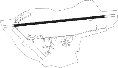
Airport details
| Country | Germany |
| State | Lower Saxony |
| Region | ED |
| Airspace | Bremen Ctr |
| Municipality | Großenkneten |
| Elevation | 149ft (45m) |
| Timezone | GMT +1 |
| Coordinates | 52.88883, 8.23283 |
| Magnetic var | |
| Type | land |
| Available since | X-Plane v10.30 |
| ICAO code | EDHA |
| IATA code | n/a |
| FAA code | n/a |
Communication
| Ahlhorn Ahlhorn Info | 136.150 |
Nearby Points of Interest:
Visbeker Braut und Bräutigam
-St. Johannes Baptist
-St. Anna (Twistringen)
-St. Sylvester
-Burg Freudenberg (Bassum)
-Klosterkirche Heiligenrode
-St. Jakobikirche
-Marienkirche Warfleth
-Jüdischer Friedhof Syke
-Kirche Farge
-Haus Kapitän Dallmann
-Rathaus Blumenthal
-Burg Syke
-Wätjens Schloss
-Amtsgericht Bremen-Blumenthal
-Spiegelhof
-Werkswohnanlage des Bremer Vulkan
-Brunnensäule Fröbelstraße
-Ulrichssches Wohnhaus
-Werkswohnhaus Weserstraße 69
-Boots- und Vereinshaus des Vegesacker Rudervereins
-Haus Buermeyer
-Villa Schröder
-Havenhaus
Nearby beacons
| code | identifier | dist | bearing | frequency |
|---|---|---|---|---|
| DP | DIEPHOLZ NDB | 19.5 | 143° | 325 |
| BMN | BREMEN VOR/DME | 21.2 | 73° | 117.45 |
| BND | DME | 21.9 | 74° | 113.65 |
| HIG | BREMEN NDB | 26.2 | 77° | 318 |
| WSN | WESER NDB | 35.9 | 54° | 378 |
| OSB | OSNABRUCK TACAN | 41.4 | 176° | 108.35 |
| OSN | OSNABRUECK VOR | 41.4 | 176° | 114.30 |
| WTM | WITTMUNDHAFEN TACAN | 43.9 | 323° | 113.50 |
| MYN | MUENSTER/OSNABRUECK NDB | 46.5 | 211° | 371 |
| BYC | BUECKEBURG NDB | 47.6 | 125° | 368 |
| MOD | DME | 49.3 | 216° | 114.05 |
| NDO | NORDHOLZ TACAN | 54.9 | 26° | 117.10 |
| NDO | NORDHOLZ NDB | 57.6 | 33° | 372 |
Disclaimer
The information on this website is not for real aviation. Use this data with the X-Plane flight simulator only! Data taken with kind consent from X-Plane 12 source code and data files. Content is subject to change without notice.