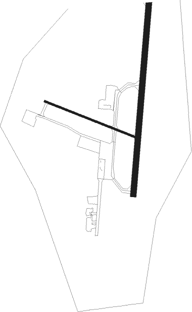
La Ronge - La Ronge (barber Field)
Airport details
| Country | Canada |
| State | Saskatchewan |
| Region | CY |
| Airspace | Winnipeg Ctr |
| Municipality | La Ronge |
| Elevation | 1242ft (379m) |
| Timezone | GMT -6 |
| Coordinates | 55.14445, -105.26859 |
| Magnetic var | |
| Type | land |
| Available since | X-Plane v10.40 |
| ICAO code | CYVC |
| IATA code | YVC |
| FAA code | n/a |
Communication
| La Ronge (Barber Field) MF RDO | 122.200 |

Nearby beacons
| code | identifier | dist | bearing | frequency |
|---|---|---|---|---|
| YVC | LA RONGE VOR/DME | 0.8 | 7° | 112.30 |
Instrument approach procedures
| runway | airway (heading) | route (dist, bearing) |
|---|---|---|
| RW18 | ELVOB (155°) | ELVOB OVDUN (5mi, 95°) 2600ft |
| RW18 | NUGEV (230°) | NUGEV OVDUN (5mi, 275°) 2600ft |
| RNAV | OVDUN 2600ft PETPI (6mi, 196°) 2600ft CYVC (5mi, 199°) 1294ft REROD (4mi, 192°) 3000ft REROD (turn) | |
| RW36 | ROTMI (50°) | ROTMI OBSIV (5mi, 95°) 2600ft |
| RW36 | SAXAP (330°) | SAXAP OBSIV (5mi, 275°) 2600ft |
| RNAV | OBSIV 2600ft IMUNU (6mi, 15°) 2600ft CYVC (4mi, 12°) 1274ft TETUP (5mi, 19°) 3000ft TETUP (turn) |
Disclaimer
The information on this website is not for real aviation. Use this data with the X-Plane flight simulator only! Data taken with kind consent from X-Plane 12 source code and data files. Content is subject to change without notice.