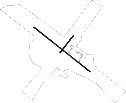
Fort Smith
Airport details
| Country | Canada |
| State | Northwest Territories |
| Region | CY |
| Airspace | Edmonton Ctr |
| Municipality | Fort Smith |
| Elevation | 671ft (205m) |
| Timezone | GMT -7 |
| Coordinates | 60.02028, -111.96194 |
| Magnetic var | |
| Type | land |
| Available since | X-Plane v10.40 |
| ICAO code | CYSM |
| IATA code | YSM |
| FAA code | n/a |
Communication
| Fort Smith Edmonton Radio | 123.550 |
| Fort Smith Airport Radio | 122.200 |

Nearby beacons
| code | identifier | dist | bearing | frequency |
|---|---|---|---|---|
| YSM | FORT SMITH VOR/DME | 0.2 | 269° | 112.40 |
| SM | FORT SMITH NDB | 4.3 | 115° | 254 |
Instrument approach procedures
| runway | airway (heading) | route (dist, bearing) |
|---|---|---|
| RW12 | NOPUR (140°) | NOPUR ESRIB (5mi, 242°) 2200ft |
| RW12 | OMVAD (100°) | OMVAD ESRIB (5mi, 62°) 2200ft |
| RNAV | ESRIB 2200ft SAXEG (6mi, 115°) 2200ft CYSM (5mi, 115°) 718ft ULOSU (2mi, 115°) XUDIT (3mi, 115°) 2200ft XUDIT (turn) | |
| RW30 | IMESU (320°) | IMESU OVOTA (5mi, 62°) 2200ft |
| RW30 | UDGOG (280°) | UDGOG OVOTA (5mi, 242°) 2200ft |
| RNAV | OVOTA 2200ft DUVIV (6mi, 295°) 2200ft CYSM (5mi, 295°) 723ft OMPOT (2mi, 295°) AVEMI (3mi, 295°) 2200ft AVEMI (turn) |
Disclaimer
The information on this website is not for real aviation. Use this data with the X-Plane flight simulator only! Data taken with kind consent from X-Plane 12 source code and data files. Content is subject to change without notice.