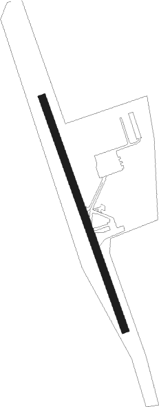
Squamish
Airport details
| Country | Canada |
| State | British Columbia |
| Region | CY |
| Airspace | Vancouver Ctr |
| Municipality | Squamish |
| Elevation | 168ft (51m) |
| Timezone | GMT -8 |
| Coordinates | 49.78167, -123.16194 |
| Magnetic var | |
| Type | land |
| Available since | X-Plane v10.40 |
| ICAO code | CYSE |
| IATA code | YSE |
| FAA code | n/a |
Communication
| Squamish CTAF | 122.800 |
| Squamish ATC | 128.800 |
Nearby beacons
| code | identifier | dist | bearing | frequency |
|---|---|---|---|---|
| VR | VANCOUVER NDB | 36.7 | 170° | 266 |
| YPK | PITT MEADOWS VOR | 38.1 | 142° | 112.40 |
| YVR | VANCOUVER VOR/DME | 42.3 | 179° | 115.90 |
| YCD | NANAIMO NDB | 48 | 227° | 251 |
| WC | WHITE ROCK NDB | 49.4 | 152° | 332 |
| XX | ABBOTSFORD NDB | 53 | 139° | 344 |
| AP | ACTIVE PASS NDB | 54.7 | 188° | 378 |
| HUH | WHATCOM VORTAC | 55.1 | 145° | 113 |
Disclaimer
The information on this website is not for real aviation. Use this data with the X-Plane flight simulator only! Data taken with kind consent from X-Plane 12 source code and data files. Content is subject to change without notice.