Points North Landing
Airport details
| Country | Canada |
| State | Saskatchewan |
| Region | CY |
| Airspace | Edmonton Ctr |
| Municipality | Unorganized Division No. 18 |
| Elevation | 1604ft (489m) |
| Timezone | GMT -6 |
| Coordinates | 58.27666, -104.08260 |
| Magnetic var | |
| Type | land |
| Available since | X-Plane v10.40 |
| ICAO code | CYNL |
| IATA code | YNL |
| FAA code | n/a |
Communication
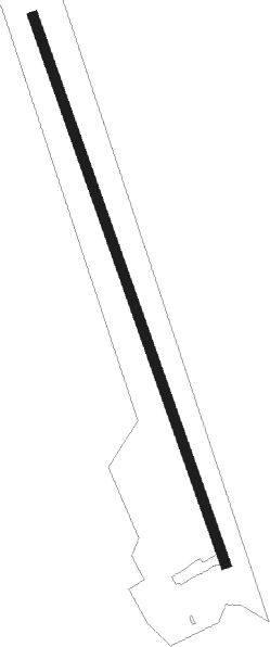
Runway info
| Runway 16 / 34 | ||
| length | 1785m (5856ft) | |
| bearing | 153° / 333° | |
| width | 30m (100ft) | |
| surface | gravel | |
Instrument approach procedures
| runway | airway (heading) | route (dist, bearing) |
|---|---|---|
| RW16 | IMABO (196°) | IMABO ITBIK (5mi, 262°) 3300ft |
| RW16 | IPRUR (124°) | IPRUR ITBIK (5mi, 82°) 3300ft |
| RNAV | ITBIK 3300ft IRGEP (6mi, 153°) 3300ft CYNL (6mi, 153°) 1640ft IPSOB (5mi, 153°) 3300ft IPSOB (turn) | |
| RW34 | NOSAL (16°) | NOSAL ITSIX (5mi, 82°) 3200ft |
| RW34 | PELVI (304°) | PELVI ITSIX (5mi, 262°) 3200ft |
| RNAV | ITSIX 3200ft IMURI (6mi, 333°) 3200ft CYNL (5mi, 333°) 1588ft IMAMI (5mi, 333°) 3300ft IMAMI (turn) |
Disclaimer
The information on this website is not for real aviation. Use this data with the X-Plane flight simulator only! Data taken with kind consent from X-Plane 12 source code and data files. Content is subject to change without notice.