Fort Severn - Ft Severn
Airport details
| Country | Canada |
| State | Ontario |
| Region | CY |
| Airspace | Winnipeg Ctr |
| Municipality | Fort Severn |
| Elevation | 49ft (15m) |
| Timezone | GMT -5 |
| Coordinates | 56.01897, -87.67621 |
| Magnetic var | |
| Type | land |
| Available since | X-Plane v10.40 |
| ICAO code | CYER |
| IATA code | YER |
| FAA code | n/a |
Communication
| Ft Severn unnamed entity | 124.550 |
| Ft Severn ATF/AWOS | 122.800 |
Runway info
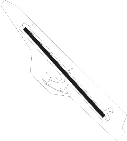
| Runway 15 / 33 | ||
| length | 1075m (3527ft) | |
| bearing | 126° / 306° | |
| width | 30m (100ft) | |
| surface | concrete | |
Nearby beacons
| code | identifier | dist | bearing | frequency |
|---|---|---|---|---|
| YER | FORT SEVERN NDB | 2 | 125° | 334 |
Instrument approach procedures
| runway | airway (heading) | route (dist, bearing) |
|---|---|---|
| RW15 | MUVOT (159°) | MUVOT EBNAX (5mi, 247°) 1400ft |
| RW15 | TANRO (106°) | TANRO EBNAX (5mi, 67°) 1400ft |
| RNAV | EBNAX 1400ft ALKUS (6mi, 126°) 1400ft CYER (4mi, 126°) 98ft GUDOV (5mi, 126°) 1500ft GUDOV (turn) | |
| RW33 | UMEPA (286°) | UMEPA ODGIB (5mi, 247°) 1400ft |
| RW33 | VIVOR (340°) | VIVOR ODGIB (5mi, 67°) 1400ft |
| RNAV | ODGIB 1400ft ITKAT (6mi, 306°) 1400ft CYER (4mi, 306°) 97ft RABUB (5mi, 306°) 1500ft RABUB (turn) |
Disclaimer
The information on this website is not for real aviation. Use this data with the X-Plane flight simulator only! Data taken with kind consent from X-Plane 12 source code and data files. Content is subject to change without notice.