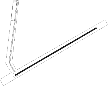
Mesa Verde - Desert Center
Airport details
| Country | United States of America |
| State | California |
| Region | K2 |
| Airspace | Los Angeles Ctr |
| Municipality | Riverside County |
| Elevation | 559ft (170m) |
| Timezone | GMT -8 |
| Coordinates | 33.74772, -115.32525 |
| Magnetic var | |
| Type | land |
| Available since | X-Plane v10.40 |
| ICAO code | CN64 |
| IATA code | n/a |
| FAA code | n/a |
Communication
| Desert Center CTAF | 122.900 |
Nearby Points of Interest:
North Shore Beach and Yacht Club
Nearby beacons
| code | identifier | dist | bearing | frequency |
|---|---|---|---|---|
| BLH | BLYTHE VORTAC | 29.6 | 105° | 117.40 |
| TNP | TWENTYNINE PALMS VORTAC | 31.1 | 309° | 114.20 |
| PKE | PARKER VORTAC | 38.4 | 61° | 117.90 |
| TRM | THERMAL VORTAC | 42.3 | 262° | 116.20 |
| NJK | EL CENTRO TACAN | 57.8 | 201° | 111 |
| IPL | IMPERIAL VORTAC | 60.6 | 190° | 115.90 |
| BZA | BARD (YUMA) VORTAC | 69.1 | 144° | 116.80 |
Disclaimer
The information on this website is not for real aviation. Use this data with the X-Plane flight simulator only! Data taken with kind consent from X-Plane 12 source code and data files. Content is subject to change without notice.