Maple Creek
Airport details
| Country | Canada |
| State | Saskatchewan |
| Region | CY |
| Airspace | Winnipeg Ctr |
| Municipality | Maple Creek |
| Elevation | 2520ft (768m) |
| Timezone | GMT -6 |
| Coordinates | 49.89651, -109.47596 |
| Magnetic var | |
| Type | land |
| Available since | X-Plane v10.40 |
| ICAO code | CJQ4 |
| IATA code | n/a |
| FAA code | n/a |
Communication
| Maple Creek CTAF/UNICOM | 122.800 |
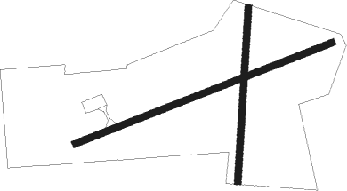
Runway info
Runway 06 / 24  | ||
| length | 938m (3077ft) | |
| bearing | 79° / 259° | |
| width | 23m (75ft) | |
| surface | asphalt | |
| Runway 17 / 35 | ||
| length | 590m (1936ft) | |
| bearing | 192° / 12° | |
| width | 23m (75ft) | |
| surface | dry lakebed | |
Nearby beacons
| code | identifier | dist | bearing | frequency |
|---|---|---|---|---|
| K5 | MAPLE CREEK NDB | 0.2 | 273° | 238 |
Instrument approach procedures
| runway | airway (heading) | route (dist, bearing) |
|---|---|---|
| RW06 | DEBMI (58°) | DEBMI SEGOK (6mi, 335°) 4300ft |
| RW06 | LEVEM (97°) | LEVEM SEGOK (6mi, 155°) 4300ft |
| RNAV | SEGOK 4300ft ALEVO (6mi, 79°) 4200ft CJQ4 (5mi, 79°) 2559ft PIBRA (7mi, 79°) 5800ft PIBRA (turn) | |
| RW24 | ILEPA (238°) | ILEPA TEVEG (6mi, 155°) 4300ft |
| RW24 | MEGAX (277°) | MEGAX TEVEG (6mi, 335°) 4300ft |
| RNAV | TEVEG 4300ft BINDA (6mi, 259°) 4200ft ODKOV (3mi, 259°) 3270ft CJQ4 (2mi, 259°) 2557ft RABUT (7mi, 259°) 5800ft RABUT (turn) |
Disclaimer
The information on this website is not for real aviation. Use this data with the X-Plane flight simulator only! Data taken with kind consent from X-Plane 12 source code and data files. Content is subject to change without notice.