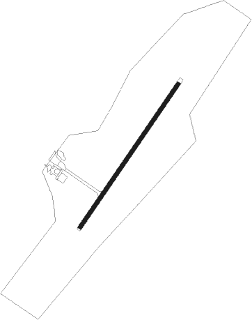
Grand Manan
Airport details
| Country | Canada |
| State | New Brunswick |
| Region | CY |
| Airspace | Moncton Ctr |
| Municipality | Village of Grand Manan |
| Elevation | 235ft (72m) |
| Timezone | GMT -4 |
| Coordinates | 44.71341, -66.79683 |
| Magnetic var | |
| Type | land |
| Available since | X-Plane v10.40 |
| ICAO code | CCN2 |
| IATA code | n/a |
| FAA code | n/a |
Communication
| Grand Manan MULTICOM | 123.200 |
Nearby Points of Interest:
West Quoddy Lifesaving Station
-Chaloner House
-Eastport Historic District
-Boynton Street Historic District
-Eastport City Hall
-Fort Sullivan
-Charles Best House
-The Algonquin Resort
-Liberty Hall
-Fort Foster
-John N.M. Brewer House
-Henrietta Brewer House
-The Mansion House
-Grace Episcopal Church
-Machias Railroad Station
-Machiasport Railroad “Lion”
-Machias Valley Grange, No. 360
-Machias Post Office and Customhouse
-Porter Memorial Library
Nearby beacons
| code | identifier | dist | bearing | frequency |
|---|---|---|---|---|
| ZST | ALPINE (SAINT JOHN) NDB | 47.1 | 58° | 397 |
| PNN | DME | 53.3 | 304° | 114.30 |
| YSJ | SAINT JOHN VOR/DME | 57.2 | 53° | 113.50 |
| SJ | SAINT JOHN NDB | 58.1 | 55° | 212 |
| AC | PLEASANT LAKE (YARMOUTH) NDB | 60.5 | 139° | 230 |
| YQI | YARMOUTH VOR/DME | 61.5 | 141° | 113.30 |
| QI | YARMOUTH NDB | 62.3 | 144° | 206 |
Instrument approach procedures
| runway | airway (heading) | route (dist, bearing) |
|---|---|---|
| RW06 | ETGOK (16°) | ETGOK UDMEM (5mi, 300°) 1800ft |
| RW06 | OTAXI (72°) | OTAXI UDMEM (5mi, 120°) 1800ft |
| RNAV | UDMEM 1800ft OLUDA (5mi, 49°) 1780ft CCN2 (5mi, 49°) 284ft IPVEL (5mi, 49°) 2200ft IPVEL (turn) | |
| RW24 | EKDUL (198°) | EKDUL NAKEG (5mi, 120°) 1900ft |
| RW24 | OMPAB (252°) | OMPAB NAKEG (5mi, 300°) 1900ft |
| RNAV | NAKEG 1900ft EMGAM (5mi, 229°) 1900ft CCN2 (5mi, 229°) 268ft IKDET (5mi, 229°) 2200ft IKDET (turn) |
Disclaimer
The information on this website is not for real aviation. Use this data with the X-Plane flight simulator only! Data taken with kind consent from X-Plane 12 source code and data files. Content is subject to change without notice.