Hvammstangi
Airport details
| Country | Iceland |
| State | Northwestern Region |
| Region | |
| Airspace | Reykjavik Ctr |
| Municipality | Húnaþing vestra |
| Elevation | 164ft (50m) |
| Timezone | GMT +0 |
| Coordinates | 65.27453, -20.85040 |
| Magnetic var | |
| Type | land |
| Available since | X-Plane v10.30 |
| ICAO code | BIHV |
| IATA code | HVM |
| FAA code | n/a |
Communication
| Hvammstangi AFIS | 118.100 |
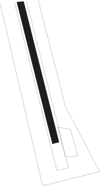
Runway info
| Runway 01 / 19 | ||
| length | 1001m (3284ft) | |
| bearing | 158° / 338° | |
| width | 30m (98ft) | |
| surface | grass | |
Nearby beacons
| code | identifier | dist | bearing | frequency |
|---|---|---|---|---|
| BL | BLONDUOS NDB | 28.3 | 54° | 351 |
| RH | REYKHOLT NDB | 38.2 | 216° | 325 |
| GJ | GJOGUR NDB | 44.8 | 326° | 340 |
Disclaimer
The information on this website is not for real aviation. Use this data with the X-Plane flight simulator only! Data taken with kind consent from X-Plane 12 source code and data files. Content is subject to change without notice.