Flúðir - Fludir
Airport details
| Country | Iceland |
| State | Southern Region |
| Region | BI |
| Airspace | Reykjavik Ctr |
| Municipality | Hrunamannahreppur |
| Elevation | 243ft (74m) |
| Timezone | GMT +0 |
| Coordinates | 64.14278, -20.32611 |
| Magnetic var | |
| Type | land |
| Available since | X-Plane v10.40 |
| ICAO code | BIFL |
| IATA code | n/a |
| FAA code | n/a |
Communication
| Fludir AFIS | 118.100 |
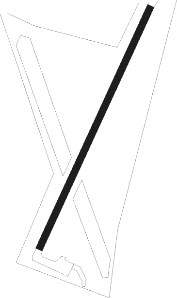
Runway info
| Runway 04 / 22 | ||
| length | 670m (2198ft) | |
| bearing | 52° / 232° | |
| width | 18m (59ft) | |
| surface | grass | |
Nearby beacons
| code | identifier | dist | bearing | frequency |
|---|---|---|---|---|
| SE | SELFOSS NDB | 22.6 | 253° | 397 |
| RH | REYKHOLT NDB | 40 | 299° | 325 |
| HL | HELGAFELL (VESTMANNAEYJAR) NDB | 43.1 | 176° | 345 |
| HL | (VESTMANNAEYJAR DME-ILS | 43.4 | 176° | 110.70 |
| VM | VESTMANNAEYJAR NDB | 44.6 | 177° | 375 |
Disclaimer
The information on this website is not for real aviation. Use this data with the X-Plane flight simulator only! Data taken with kind consent from X-Plane 12 source code and data files. Content is subject to change without notice.