Breiðdalsvík - Breiddalsvik
Airport details
| Country | Iceland |
| State | Eastern Region (Iceland) |
| Region | BI |
| Airspace | Reykjavik Ctr |
| Municipality | Fjarðabyggð |
| Elevation | 6ft (2m) |
| Timezone | GMT +0 |
| Coordinates | 64.79000, -14.02278 |
| Magnetic var | |
| Type | land |
| Available since | X-Plane v10.40 |
| ICAO code | BIBV |
| IATA code | BXV |
| FAA code | n/a |
Communication
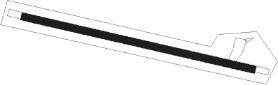
Runway info
| Runway 12 / 30 | ||
| length | 809m (2654ft) | |
| bearing | 98° / 278° | |
| width | 25m (82ft) | |
| surface | gravel | |
Nearby beacons
| code | identifier | dist | bearing | frequency |
|---|---|---|---|---|
| VA | VAD (EGILSSTADIR) NDB | 24.1 | 299° | 335 |
| ES | EGILSSTADIR NDB | 29 | 316° | 365 |
| MN | MYNES (EGILSSTADIR) NDB | 32 | 325° | 382 |
| VP | VOPNAFJORDUR NDB | 59.4 | 318° | 393 |
Disclaimer
The information on this website is not for real aviation. Use this data with the X-Plane flight simulator only! Data taken with kind consent from X-Plane 12 source code and data files. Content is subject to change without notice.