Kavieng
Airport details
| Country | Papua New Guinea |
| State | New Ireland |
| Region | AY |
| Airspace | Port Moresby Ctr |
| Municipality | Lamet District |
| Elevation | 12ft (4m) |
| Timezone | GMT +10 |
| Coordinates | -2.57898, 150.80743 |
| Magnetic var | |
| Type | land |
| Available since | X-Plane v10.40 |
| ICAO code | AYKV |
| IATA code | KVG |
| FAA code | n/a |
Communication
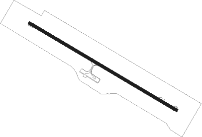
Runway info
| Runway 12 / 30 | ||
| length | 1697m (5568ft) | |
| bearing | 125° / 305° | |
| width | 30m (98ft) | |
| surface | asphalt | |
| blast zone | 0m (0ft) / 60m (197ft) | |
Nearby beacons
| code | identifier | dist | bearing | frequency |
|---|---|---|---|---|
| KVG | KAVIENG VOR/DME | 0.5 | 135° | 117.10 |
Instrument approach procedures
| runway | airway (heading) | route (dist, bearing) |
|---|---|---|
| RW30 | YKVED (284°) | YKVED 3400ft YKVEI (5mi, 235°) 3000ft |
| RW30 | YKVEE (305°) | YKVEE 3400ft YKVEI (5mi, 305°) 3000ft |
| RW30 | YKVEG (326°) | YKVEG 3400ft YKVEI (5mi, 15°) 3000ft |
| RNAV | YKVEI 3000ft YKVEF (5mi, 305°) 1700ft YKVEM (5mi, 305°) 67ft YKVEH (5mi, 305°) (9047mi, 271°) 3400ft | |
| RWNVA | YKVNA (104°) | YKVNA 3400ft YKVNI (5mi, 55°) 3000ft |
| RWNVA | YKVNC (125°) | YKVNC 3400ft YKVNI (5mi, 125°) 3000ft |
| RWNVA | YKVND (146°) | YKVND 3400ft YKVNI (5mi, 195°) 3000ft |
| RNAV | YKVNI 3000ft YKVNF (5mi, 125°) 1700ft YKVNM (5mi, 125°) 66ft YKVNH (5mi, 125°) (9054mi, 271°) 3400ft |
Disclaimer
The information on this website is not for real aviation. Use this data with the X-Plane flight simulator only! Data taken with kind consent from X-Plane 12 source code and data files. Content is subject to change without notice.