Grandfield - Chattanooga Sky Harbor
Airport details
| Country | United States of America |
| State | Oklahoma |
| Region | K4 |
| Airspace | Ft Worth Ctr |
| Municipality | Tillman County |
| Elevation | 1134ft (346m) |
| Timezone | GMT -6 |
| Coordinates | 34.36886, -98.68214 |
| Magnetic var | |
| Type | land |
| Available since | X-Plane v10.40 |
| ICAO code | 92F |
| IATA code | n/a |
| FAA code | n/a |
Communication
| Chattanooga Sky Harbor CTAF | 122.900 |
Nearby Points of Interest:
Quanah Parker Star House
-Tillman County Courthouse
-Mattie Beal House
-Carnegie Library
-Mahoney-Clark House
-Doan's Adobe House
-State Highway 79 Bridge at the Red River
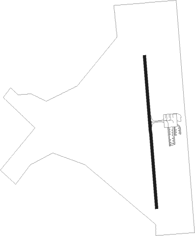
Runway info
| Runway 17 / 35 | ||
| length | 1049m (3442ft) | |
| bearing | 180° / 360° | |
| width | 18m (60ft) | |
| surface | asphalt | |
Nearby beacons
| code | identifier | dist | bearing | frequency |
|---|---|---|---|---|
| LAW | LAWTON VOR/DME | 15.3 | 65° | 109.40 |
| SPS | WICHITA FALLS VORTAC | 23.3 | 167° | 112.70 |
| SHP | SHEPPARD (WICHITA FALLS) TACAN | 25.1 | 153° | 110.80 |
| LTS | ALTUS VORTAC | 34 | 297° | 109.80 |
| HBR | HOBART VORTAC | 35.3 | 323° | 111.80 |
| SKB | SCOTLAND (WICHITA FALLS) NDB | 36.5 | 162° | 344 |
| DUC | DME | 37.9 | 89° | 111 |
| BFV | BURNS FLAT (CLINTON) VORTAC | 58.1 | 329° | 110 |
| UKW | BOWIE VORTAC | 65.8 | 134° | 117.15 |
Disclaimer
The information on this website is not for real aviation. Use this data with the X-Plane flight simulator only! Data taken with kind consent from X-Plane 12 source code and data files. Content is subject to change without notice.