Cimarron - Cimarron Muni
Airport details
| Country | United States of America |
| State | Kansas |
| Region | |
| Airspace | Kansas City Ctr |
| Municipality | Gray County |
| Elevation | 2749ft (838m) |
| Timezone | GMT -6 |
| Coordinates | 37.82747, -100.34735 |
| Magnetic var | |
| Type | land |
| Available since | X-Plane v10.40 |
| ICAO code | 8K8 |
| IATA code | n/a |
| FAA code | 8K8 |
Communication
Nearby Points of Interest:
Old Gray County Courthouse
-Dodge City Public Library
-Garden City High School
-Hope House
-Bungalow Historic District
-Sen. William H. Thompson House
-T. S. Haun House
-Windsor Hotel
-Hodgeman County Courthouse
-Cedar Cliff
-Fowler Swimming Pool and Bathhouse
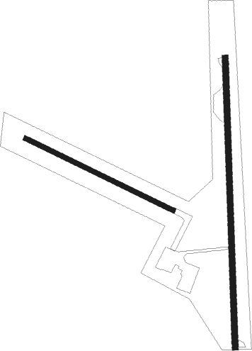
Runway info
Runway 1 / 19  | ||
| length | 872m (2861ft) | |
| bearing | 3° / 183° | |
| width | 18m (60ft) | |
| surface | asphalt | |
| Runway 11 / 29 | ||
| length | 494m (1621ft) | |
| bearing | 115° / 295° | |
| width | 15m (50ft) | |
| surface | grass | |
Nearby beacons
| code | identifier | dist | bearing | frequency |
|---|---|---|---|---|
| DDC | DODGE CITY VORTAC | 16.2 | 86° | 108.20 |
| GC | PIEVE (GARDEN CITY) NDB | 17.8 | 270° | 347 |
| GCK | GARDEN CITY VORTAC | 18.7 | 284° | 113.30 |
| LBL | LIBERAL VORTAC | 55.6 | 219° | 112.30 |
| LB | PANCK (LIBERAL) NDB | 59.4 | 215° | 383 |
Disclaimer
The information on this website is not for real aviation. Use this data with the X-Plane flight simulator only! Data taken with kind consent from X-Plane 12 source code and data files. Content is subject to change without notice.