Harrison - Clare County
Airport details
| Country | United States of America |
| State | Michigan |
| Region | K5 |
| Airspace | Minneapolis Ctr |
| Municipality | Hayes Township |
| Elevation | 1142ft (348m) |
| Timezone | GMT -5 |
| Coordinates | 44.05228, -84.81313 |
| Magnetic var | |
| Type | land |
| Available since | X-Plane v10.40 |
| ICAO code | 80D |
| IATA code | n/a |
| FAA code | 80D |
Communication
| Clare County CTAF/UNICOM | 122.800 |
Nearby Points of Interest:
George and Martha Hitchcock House
-Eggleston School
-Sherman City Union Church
-Mount Pleasant Indian Industrial Boarding School
-Doughty House (Mount Pleasant, Michigan)
-Michigan Condensed Milk Factory
-Mount Pleasant Downtown Historic District
-Frank J. Cobbs House
-Cadillac-Soo Lumber Company 3
-Cobbs and Mitchell Building
-Elks Temple Building
-Charles T. Mitchell House
-Cadillac Public Library
-Masonic Temple Building
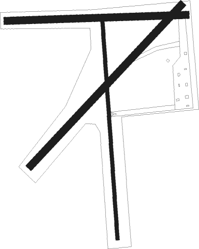
Runway info
Runway 18 / 36  | ||
| length | 908m (2979ft) | |
| bearing | 181° / 1° | |
| width | 15m (50ft) | |
| surface | asphalt | |
| displ threshold | 144m (472ft) / 351m (1152ft) | |
| Runway 05 / 23 | ||
| length | 913m (2995ft) | |
| bearing | 57° / 237° | |
| width | 30m (100ft) | |
| surface | grass | |
| Runway 09 / 27 | ||
| length | 741m (2431ft) | |
| bearing | 92° / 272° | |
| width | 30m (100ft) | |
| surface | grass | |
| displ threshold | 371m (1217ft) / 269m (883ft) | |
Nearby beacons
| code | identifier | dist | bearing | frequency |
|---|---|---|---|---|
| MOP | MOUNT PLEASANT VOR/DME | 26 | 170° | 110.60 |
| MA | WEXOR (CADILLAC) NDB | 33.5 | 284° | 336 |
| CGG | GRAYLING VOR | 37.9 | 8° | 109.80 |
| GYG | GRAYLING NDB | 41.9 | 359° | 359 |
| MBS | SAGINAW VOR/DME | 44.6 | 125° | 112.90 |
| MB | OLSTE (SAGINAW) NDB | 44.8 | 133° | 257 |
| HIC | WHITE CLOUD VOR/DME | 48.5 | 242° | 117.60 |
| TVC | TRAVERSE CITY VOR/DME | 48.6 | 310° | 114.60 |
| TV | GWENN (TRAVERSE CITY) NDB | 48.7 | 318° | 365 |
| GL | BANGU (GAYLORD) NDB | 57.7 | 0° | 375 |
| GLR | GAYLORD VOR/DME | 57.8 | 6° | 109.20 |
Disclaimer
The information on this website is not for real aviation. Use this data with the X-Plane flight simulator only! Data taken with kind consent from X-Plane 12 source code and data files. Content is subject to change without notice.