Desmet - Wilder
Airport details
| Country | United States of America |
| State | South Dakota |
| Region | K3 |
| Airspace | Minneapolis Ctr |
| Municipality | Kingsbury County |
| Elevation | 1729ft (527m) |
| Timezone | GMT -6 |
| Coordinates | 44.43306, -97.55817 |
| Magnetic var | |
| Type | land |
| Available since | X-Plane v10.40 |
| ICAO code | 6E5 |
| IATA code | n/a |
| FAA code | n/a |
Communication
| Wilder CTAF | 122.900 |
Nearby Points of Interest:
Kingsbury County Courthouse
-Chicago and North Western Roundhouse
-Pyle House
-Grace Episcopal Church
-Hattie O. and Henry Drake Octagon House
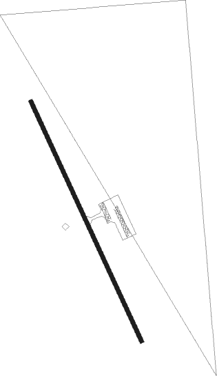
Runway info
| Runway 15 / 33 | ||
| length | 1129m (3704ft) | |
| bearing | 153° / 333° | |
| width | 18m (60ft) | |
| surface | asphalt | |
Nearby beacons
| code | identifier | dist | bearing | frequency |
|---|---|---|---|---|
| BK | CHRLZ (BROOKINGS) NDB | 26.6 | 97° | 335 |
| HON | DME | 32.2 | 271° | 117.60 |
| HO | BEADY (HURON) NDB | 33.3 | 271° | 302 |
| ATY | WATERTOWN VORTAC | 37.3 | 37° | 116.60 |
| MHE | MITCHELL VOR/DME | 44.4 | 216° | 109.20 |
| FSD | SIOUX FALLS VORTAC | 57.7 | 135° | 115 |
| FS | ROKKY (SIOUX FALLS) NDB | 64.6 | 142° | 245 |
| AB | RENEY (ABERDEEN) NDB | 65.9 | 321° | 203 |
| ABR | ABERDEEN VOR/DME | 68.4 | 321° | 113 |
Disclaimer
The information on this website is not for real aviation. Use this data with the X-Plane flight simulator only! Data taken with kind consent from X-Plane 12 source code and data files. Content is subject to change without notice.