Lakota - Lakota Muni
Airport details
| Country | United States of America |
| State | North Dakota |
| Region | K3 |
| Airspace | Minneapolis Ctr |
| Municipality | Nelson County |
| Elevation | 1512ft (461m) |
| Timezone | GMT -6 |
| Coordinates | 48.02892, -98.32575 |
| Magnetic var | |
| Type | land |
| Available since | X-Plane v10.40 |
| ICAO code | 5L0 |
| IATA code | n/a |
| FAA code | n/a |
Communication
| Lakota Muni CTAF | 122.900 |
Nearby Points of Interest:
Tofthagen Library and Museum
-Devils Lake Masonic Temple
-St. Mary's Academy
-U.S. Post Office and Courthouse
-Locke Block
-Westminster Presbyterian Church
-Ramsey County Sheriff's House
-Devils Lake Carnegie Library
-Central High School
-Bangs-Wineman Block
Nearby beacons
| code | identifier | dist | bearing | frequency |
|---|---|---|---|---|
| DVL | DEVILS LAKE VOR/DME | 24.1 | 278° | 114.75 |
| RDR | RED RIVER (GRAND FORKS) TACAN | 37.2 | 94° | 116.40 |
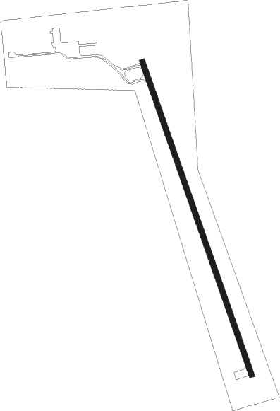
Instrument approach procedures
| runway | airway (heading) | route (dist, bearing) |
|---|---|---|
| RW33 | JIDEX (338°) | JIDEX 3500ft |
| RNAV | JIDEX 3500ft CAKUD (7mi, 338°) 3100ft HIDIP (2mi, 338°) 2340ft 5L0 (3mi, 338°) 1547ft (5739mi, 116°) 2300ft NERDE (5747mi, 296°) 3300ft NERDE (turn) |
Disclaimer
The information on this website is not for real aviation. Use this data with the X-Plane flight simulator only! Data taken with kind consent from X-Plane 12 source code and data files. Content is subject to change without notice.