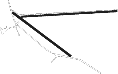
Milburn - Mc Millan Ranch
Airport details
| Country | United States of America |
| State | Nebraska |
| Region | |
| Airspace | Denver Ctr |
| Municipality | Blaine County |
| Elevation | 2500ft (762m) |
| Timezone | GMT -6 |
| Coordinates | 41.75390, -99.76057 |
| Magnetic var | |
| Type | land |
| Available since | X-Plane v10.40 |
| ICAO code | 4NE1 |
| IATA code | n/a |
| FAA code | 4NE1 |
Communication
Nearby Points of Interest:
St. Anselm's Catholic Church, Rectory and Parish Hall
-Brenizer Library
-Custer County Courthouse
-Dowse Sod House
-Burwell Carnegie Library
-Rad Slavin cis. 112 Z.C.B.J. Hall
-Garfield County Frontier Fairgrounds

Nearby beacons
| code | identifier | dist | bearing | frequency |
|---|---|---|---|---|
| CUZ | CUSTER CO. (BROKEN BOW) VOR/DME | 16.5 | 165° | 108.20 |
| ODX | ORD NDB | 37.2 | 99° | 356 |
| TDD | THEDFORD VOR/DME | 44.9 | 283° | 108.60 |
| ANW | AINSWORTH VOR/DME | 50 | 344° | 112.70 |
| OZB | COZAD VOR | 54.1 | 195° | 109 |
| LB | PANBE (NORTH PLATTE) NDB | 55 | 230° | 416 |
| LBF | NORTH PLATTE VOR/DME | 61.3 | 234° | 117.40 |
Disclaimer
The information on this website is not for real aviation. Use this data with the X-Plane flight simulator only! Data taken with kind consent from X-Plane 12 source code and data files. Content is subject to change without notice.