Schroon Lake
Airport details
| Country | United States of America |
| State | New York |
| Region | K6 |
| Airspace | Boston Ctr |
| Municipality | Town of Schroon |
| Elevation | 830ft (253m) |
| Timezone | GMT -5 |
| Coordinates | 43.86258, -73.74055 |
| Magnetic var | |
| Type | land |
| Available since | X-Plane v10.40 |
| ICAO code | 4B7 |
| IATA code | n/a |
| FAA code | n/a |
Communication
| SCHROON LAKE CTAF | 122.900 |
Runway info
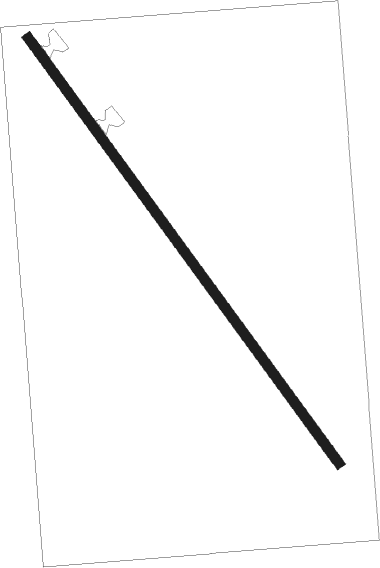
| Runway 16 / 34 | ||
| length | 960m (3150ft) | |
| bearing | 139° / 319° | |
| width | 18m (60ft) | |
| surface | asphalt | |
| displ threshold | 55m (180ft) / 24m (79ft) | |
Nearby beacons
| code | identifier | dist | bearing | frequency |
|---|---|---|---|---|
| DYO | SMUTO (RUTLAND) NDB | 35.2 | 101° | 221 |
| GF | GANSE (GLENS FALLS) NDB | 36.9 | 167° | 209 |
| SLK | LAKE DME | 37.1 | 318° | 109.20 |
| RUT | DME | 39.7 | 113° | 111 |
| BTV | BURLINGTON VOR/DME | 40.1 | 46° | 117.50 |
| BJA | BURLINGTON TACAN | 44.6 | 44° | 112.40 |
| BT | HERRO (BURLINGTON) NDB | 45.4 | 36° | 382 |
| CAM | CAMBRIDGE VOR/DME | 54.9 | 155° | 115 |
| JJH | JOHNSTOWN NDB | 57.8 | 214° | 523 |
Disclaimer
The information on this website is not for real aviation. Use this data with the X-Plane flight simulator only! Data taken with kind consent from X-Plane 12 source code and data files. Content is subject to change without notice.
