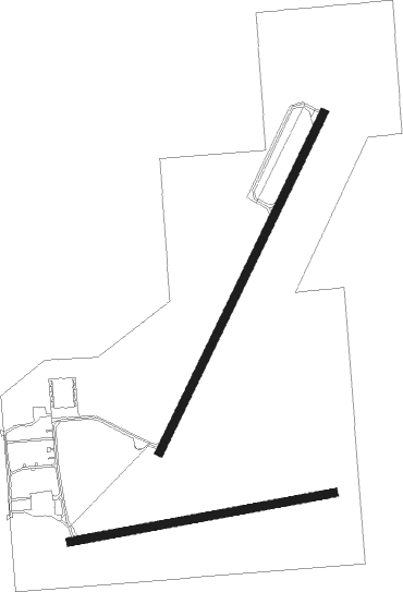
Clare - Clare Muni
Airport details
| Country | United States of America |
| State | Michigan |
| Region | K5 |
| Airspace | Minneapolis Ctr |
| Municipality | Clare |
| Elevation | 854ft (260m) |
| Timezone | GMT -5 |
| Coordinates | 43.83445, -84.74022 |
| Magnetic var | |
| Type | land |
| Available since | X-Plane v10.40 |
| ICAO code | 48D |
| IATA code | n/a |
| FAA code | n/a |
Communication
| CLARE MUNI CTAF/UNICOM | 122.800 |
| CLARE MUNI SAGINAW Approach/Departure | 126.450 |
Nearby Points of Interest:
George and Martha Hitchcock House
-Mount Pleasant Indian Industrial Boarding School
-Doughty House (Mount Pleasant, Michigan)
-Mount Pleasant Downtown Historic District
-Michigan Condensed Milk Factory
-Sherman City Union Church
-Robert E. and Barbara Schwartz House
-Eggleston School
-Charles MacCallum House
-George Greene House
-Calvin A. and Alta Koch Campbell House
-Charles and Mary Kempf Penhaligen House
-James T. Pardee House
-Oscar C. Diehl House
-Alden Hanson House
-Earl Stein House
-Sheldon Heath House
-Parents' and Children's Schoolhouse
-Howard Ball House
-Mr. and Mrs. Louis P. Butenschoen House
-Joseph A. Cavanagh House
-Herbert H. Dow House
-Mr. and Mrs Frank Boonstra House
-Midland County Courthouse
-John S. Whitman House

Nearby beacons
| code | identifier | dist | bearing | frequency |
|---|---|---|---|---|
| MOP | MOUNT PLEASANT VOR/DME | 12.7 | 179° | 110.60 |
| MB | OLSTE (SAGINAW) NDB | 33 | 124° | 257 |
| MBS | SAGINAW VOR/DME | 34 | 115° | 112.90 |
| MA | WEXOR (CADILLAC) NDB | 42.4 | 297° | 336 |
| HIC | WHITE CLOUD VOR/DME | 45.1 | 255° | 117.60 |
| CGG | GRAYLING VOR | 50.8 | 1° | 109.80 |
| GYG | GRAYLING NDB | 55.1 | 355° | 359 |
| TVC | TRAVERSE CITY VOR/DME | 60.9 | 316° | 114.60 |
| TV | GWENN (TRAVERSE CITY) NDB | 61.6 | 323° | 365 |
| GR | KNOBS (GRAND RAPIDS) NDB | 62.8 | 214° | 263 |
| FNT | FLINT VORTAC | 67.7 | 131° | 116.90 |
Instrument approach procedures
| runway | airway (heading) | route (dist, bearing) |
|---|---|---|
| RW04 | YUFJE (39°) | YUFJE 3100ft |
| RNAV | YUFJE 3100ft HUMDI (4mi, 39°) 2700ft ZENOX (4mi, 39°) 1440ft 48D (2mi, 40°) 866ft (5177mi, 117°) 1300ft MOP (5177mi, 297°) 2800ft MOP (turn) |
Disclaimer
The information on this website is not for real aviation. Use this data with the X-Plane flight simulator only! Data taken with kind consent from X-Plane 12 source code and data files. Content is subject to change without notice.