Hemingford - Phillips Private
Airport details
| Country | United States of America |
| State | Nebraska |
| Region | |
| Airspace | Denver Ctr |
| Municipality | Box Butte County |
| Elevation | 4370ft (1332m) |
| Timezone | GMT -7 |
| Coordinates | 42.32774, -103.19353 |
| Magnetic var | |
| Type | land |
| Available since | X-Plane v10.40 |
| ICAO code | 3NE2 |
| IATA code | n/a |
| FAA code | 3NE2 |
Communication
Nearby Points of Interest:
Henry Wohlers Sr. Homestead
-Box Butte County Courthouse
-Alliance Commercial Historic District
-Co-operative Block Building
-United States Post Office
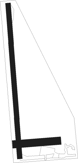
Runway info
Runway 18 / 36  | ||
| length | 895m (2936ft) | |
| bearing | 180° / 0° | |
| width | 30m (100ft) | |
| surface | grass | |
| Runway 09 / 27 | ||
| length | 244m (801ft) | |
| bearing | 90° / 270° | |
| width | 46m (150ft) | |
| surface | grass | |
Nearby beacons
| code | identifier | dist | bearing | frequency |
|---|---|---|---|---|
| TST | TOADSTOOL VOR/DME | 14.8 | 333° | 113.40 |
| AIA | ALLIANCE VOR/DME | 23.8 | 125° | 111.80 |
| CD | DAWES (CHADRON) NDB | 25.6 | 3° | 362 |
| BFF | SCOTTSBLUFF VORTAC | 29 | 214° | 112.60 |
| HIN | WHITNEY (CHADRON) NDB | 30.4 | 11° | 275 |
| TOR | TORRINGTON NDB | 45.5 | 255° | 293 |
| OKS | OSHKOSH NDB | 67.2 | 138° | 233 |
Disclaimer
The information on this website is not for real aviation. Use this data with the X-Plane flight simulator only! Data taken with kind consent from X-Plane 12 source code and data files. Content is subject to change without notice.