Leoti - Mark Hoard Mem
Airport details
| Country | United States of America |
| State | Kansas |
| Region | K3 |
| Airspace | Denver Ctr |
| Municipality | Wichita County |
| Elevation | 3303ft (1007m) |
| Timezone | GMT -6 |
| Coordinates | 38.45797, -101.35052 |
| Magnetic var | |
| Type | land |
| Available since | X-Plane v10.40 |
| ICAO code | 3K7 |
| IATA code | n/a |
| FAA code | n/a |
Communication
| Mark Hoard Mem CTAF/UNICOM | 122.700 |
Nearby Points of Interest:
William B. and Julia Washington House
-Greeley County Courthouse
-Old Logan County Courthouse
-Pond Creek Station
-Clark–Robidoux House
-Deerfield Texaco Service Station
-English Lutheran Church
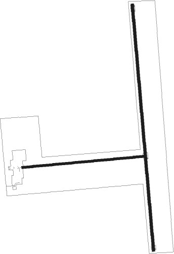
Runway info
Runway 17 / 35  | ||
| length | 1328m (4357ft) | |
| bearing | 179° / 359° | |
| width | 15m (50ft) | |
| surface | asphalt | |
| Runway 8 / 26 | ||
| length | 662m (2172ft) | |
| bearing | 90° / 270° | |
| width | 12m (40ft) | |
| surface | asphalt | |
Nearby beacons
| code | identifier | dist | bearing | frequency |
|---|---|---|---|---|
| GCK | GARDEN CITY VORTAC | 43.8 | 131° | 113.30 |
| OEL | OAKLEY NDB | 46.6 | 39° | 380 |
| GC | PIEVE (GARDEN CITY) NDB | 47.9 | 135° | 347 |
| GL | SHUGR (GOODLAND) NDB | 51.5 | 343° | 414 |
| ULS | ULYSSES NDB | 51.7 | 181° | 395 |
| GLD | GOODLAND VORTAC | 58 | 340° | 115.10 |
| ITR | KIT CARSON (BURLINGTON) NDB | 64.3 | 310° | 209 |
Instrument approach procedures
| runway | airway (heading) | route (dist, bearing) |
|---|---|---|
| RW17 | OXTER (180°) | OXTER 9000ft |
| RW17 | PAVLE (145°) | PAVLE OXTER (10mi, 90°) 9000ft |
| RW17 | SELLE (215°) | SELLE OXTER (10mi, 270°) 9000ft |
| RNAV | OXTER 9000ft JESET (12mi, 180°) 5200ft 3K7 (6mi, 180°) 3343ft (5938mi, 111°) 3583ft FITAB (5940mi, 291°) 9000ft FITAB (turn) 9000ft | |
| RW35 | FITAB (360°) | FITAB 9000ft |
| RW35 | KEENA (35°) | KEENA FITAB (10mi, 90°) 9000ft |
| RW35 | YECUS (325°) | YECUS FITAB (10mi, 270°) 9000ft |
| RNAV | FITAB 9000ft CIBOT (12mi, 360°) 5200ft HEAPY (4mi, 360°) 3960ft 3K7 (2mi, 0°) 3338ft (5938mi, 111°) 3580ft OXTER (5935mi, 291°) 9000ft OXTER (turn) 9000ft |
Disclaimer
The information on this website is not for real aviation. Use this data with the X-Plane flight simulator only! Data taken with kind consent from X-Plane 12 source code and data files. Content is subject to change without notice.