Junction City - Freeman Fld
Airport details
| Country | United States of America |
| State | Kansas |
| Region | K3 |
| Airspace | Kansas City Ctr |
| Municipality | Junction City |
| Elevation | 1101ft (336m) |
| Timezone | GMT -6 |
| Coordinates | 39.04333, -96.84328 |
| Magnetic var | |
| Type | land |
| Available since | X-Plane v10.40 |
| ICAO code | 3JC |
| IATA code | n/a |
| FAA code | n/a |
Communication
| Freeman Fld Marshall AAF ASOS | 121.025 |
| Freeman Fld CTAF/UNICOM | 122.800 |
| Freeman Fld Marshall AAF GCA App | 128.800 |
| Freeman Fld Marshall AAF GCA Dep | 121.250 |
Nearby Points of Interest:
Grand Army of the Republic memorial
-First Territorial Capitol of Kansas
-Goodnow House
-Anderson Hall
-Woman's Club House
-Manhattan Carnegie Library Building
-E. A. and Ura Wharton House
-Downtown Manhattan Historic District
-Atchison, Topeka and Santa Fe Railway 3415
-Lebold Mansion
-Clay County Courthouse
-Cassius & Adelia Baker House
-Kaw Mission
-Last Chance Store
-First Baptist Church of Council Grove
-Council Grove Historic District
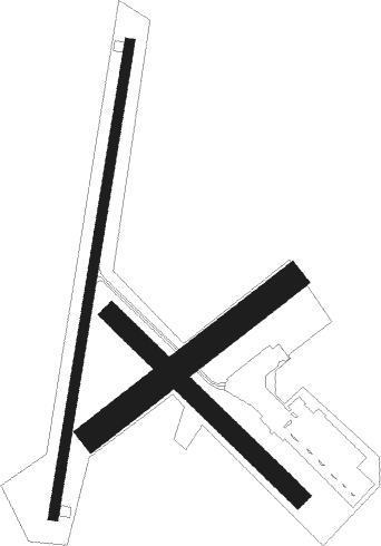
Runway info
Runway 18 / 36  | ||
| length | 1068m (3504ft) | |
| bearing | 197° / 17° | |
| width | 23m (75ft) | |
| surface | asphalt | |
| Runway 05 / 23 | ||
| length | 559m (1834ft) | |
| bearing | 63° / 243° | |
| width | 61m (200ft) | |
| surface | grass | |
| Runway 13 / 31 | ||
| length | 581m (1906ft) | |
| bearing | 131° / 311° | |
| width | 43m (140ft) | |
| surface | grass | |
Nearby beacons
| code | identifier | dist | bearing | frequency |
|---|---|---|---|---|
| FRI | FORT RILEY (JUNCTION CITY VOR | 4.4 | 194° | 109.40 |
| MHK | MANHATTAN VOR/DME | 10.1 | 60° | 110.20 |
| HRU | HERINGTON NDB | 21.1 | 175° | 407 |
| SLN | SALINA VORTAC | 37 | 261° | 117.10 |
| SL | FLORY (SALINA) NDB | 43.3 | 246° | 344 |
| EMP | EMPORIA VORTAC | 55.9 | 137° | 112.80 |
| CA | HARVS (NEWTON) NDB | 57.6 | 206° | 395 |
Instrument approach procedures
| runway | airway (heading) | route (dist, bearing) |
|---|---|---|
| RW36 | BUKBE (2°) | BUKBE 10000ft BUKBE (turn) 3600ft |
| RW36 | HEYDN (307°) | HEYDN DABRE (20mi, 295°) 3600ft BUKBE (5mi, 270°) 3600ft |
| RW36 | SLN (81°) | SLN CAMLA (31mi, 95°) 3600ft BUKBE (5mi, 90°) 3600ft |
| RNAV | BUKBE 3600ft AMIBE (5mi, 0°) 2900ft EGETE (5mi, 0°) 1296ft (5724mi, 112°) 1502ft BUKBE (5725mi, 292°) 3600ft BUKBE (turn) |
Disclaimer
The information on this website is not for real aviation. Use this data with the X-Plane flight simulator only! Data taken with kind consent from X-Plane 12 source code and data files. Content is subject to change without notice.