Painesville - Concord Airpark
Airport details
| Country | United States of America |
| State | Ohio |
| Region | K5 |
| Airspace | Cleveland Ctr |
| Municipality | Lake County |
| Elevation | 999ft (304m) |
| Timezone | GMT -5 |
| Coordinates | 41.66705, -81.19718 |
| Magnetic var | |
| Type | land |
| Available since | X-Plane v10.40 |
| ICAO code | 2G1 |
| IATA code | n/a |
| FAA code | n/a |
Communication
| Concord Airpark CTAF/UNICOM | 122.800 |
| Concord Airpark CLEVELAND Approach/Departure | 125.350 |
Nearby Points of Interest:
South Leroy Meetinghouse
-Sessions House
-Administration Building
-St. James Episcopal Church
-Geauga County Courthouse
-Mentor station
-Lot Hathaway House
-Addison Kimball House
-Louis Penfield House
-Madison Seminary
-Karl A. Staley House
-ASM Headquarters and Geodesic Dome
-Eliphalet Austin House
-Free Will Baptist Church of Auburn
-Nela Park
-First Church of Christ in Euclid
-Forest Hill, Ohio
-Tower East
-Ashtabula County Courthouse Group
-Joshua Reed Giddings Law Office
-Alta Public Library
-Cozad-Bates House
-First Church of Christ, Scientist
-Flora Stone Mather College Historic District
-Woodland-Larchmere Commercial Historic District
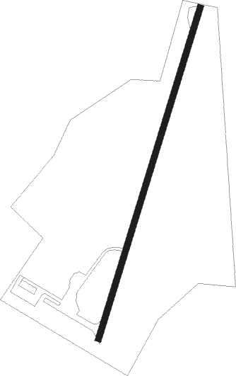
Runway info
| Runway 3 / 21 | ||
| length | 665m (2182ft) | |
| bearing | 28° / 208° | |
| width | 12m (38ft) | |
| surface | asphalt | |
Nearby beacons
| code | identifier | dist | bearing | frequency |
|---|---|---|---|---|
| LQL | LAKELAND (WILLOUGHBY) NDB | 8.2 | 275° | 263 |
| CXR | CHARDON VOR/DME | 9.1 | 167° | 112.70 |
| BF | TABEY (CLEVELAND) NDB | 17.9 | 255° | 248 |
| JFN | JEFFERSON VOR/DME | 20.8 | 78° | 115.20 |
| YNG | YOUNGSTOWN VORTAC | 30.9 | 123° | 109 |
| ACO | AKRON VOR/DME | 33.5 | 180° | 114.40 |
| AK | AKRON NDB | 36.8 | 198° | 362 |
| YN | FETCH (YOUNGSTOWN/WARREN) NDB | 38.9 | 128° | 338 |
| ERI | ERIE VORTAC | 45.6 | 69° | 109.40 |
| DJB | DRYER VOR/DME | 47.1 | 252° | 113.60 |
| UCP | CASTLE (NEW CASTLE) NDB | 52.3 | 129° | 272 |
| BSV | BRIGGS VOR/DME | 56.6 | 194° | 112.40 |
| EWC | ELLWOOD CITY VOR/DME | 67.3 | 131° | 115.80 |
Disclaimer
The information on this website is not for real aviation. Use this data with the X-Plane flight simulator only! Data taken with kind consent from X-Plane 12 source code and data files. Content is subject to change without notice.