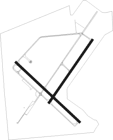
Lake Elmo
Airport details
| Country | United States of America |
| State | Minnesota |
| Region | K3 |
| Airspace | Minneapolis Ctr |
| Municipality | Baytown |
| Elevation | 932ft (284m) |
| Timezone | GMT -6 |
| Coordinates | 44.99749, -92.85568 |
| Magnetic var | |
| Type | land |
| Available since | X-Plane v10.40 |
| ICAO code | 21D |
| IATA code | n/a |
| FAA code | n/a |
Communication
| Lake Elmo AWOS-3 | 120.075 |
| Lake Elmo CTAF/UNICOM | 122.800 |
| Lake Elmo MINNEAPOLIS Approach/Departure | 121.200 |
Nearby Points of Interest:
Minnesota Correctional Facility – Stillwater
-Albert Lammers House
-Moritz Bergstein Shoddy Mill and Warehouse
-Stillwater Overlook
-Nelson School
-Captain Austin Jenks House
-Washington County Courthouse
-Roscoe Hersey House
-Captain John Oliver House
-Mortimer Webster House
-Chicago, Milwaukee and St. Paul Freight House
-Stillwater Commercial Historic District
-Ivory McKusick House
-William H. Phipps House
-Warden's House Museum
-Minnesota Territorial Prison
-John S. Moffat House
-St Croix County Courthouse
-Frederick L. Darling House
-William Dwelley House
-Hudson Public Library
-John T. Cyphers House
-Lewis-Williams House
-Samuel T. Merritt House
-Herman L. Humphrey House

Nearby beacons
| code | identifier | dist | bearing | frequency |
|---|---|---|---|---|
| MSP | MINNEAPOLIS VOR/DME | 17.2 | 255° | 115.30 |
| GEP | GOPHER (MINNEAPOLIS) VORTAC | 23.6 | 286° | 117.30 |
| RG | REGUE (RED WING) NDB | 25.5 | 152° | 274 |
| FGT | FARMINGTON VORTAC | 26 | 222° | 115.70 |
| FCM | FLYING CLOUD (MINNEAPOLIS VOR/DME | 27 | 254° | 117.70 |
| ROS | RUSH CITY NDB | 42.1 | 352° | 282 |
| PNM | PRINCETON NDB | 46.5 | 307° | 368 |
| FOW | HALFWAY (MORRISTOWN) VOR/DME | 52.4 | 213° | 111.20 |
| RZN | DME | 53.4 | 30° | 109.40 |
| BXR | BIG DOCTOR (SIREN) NDB | 53.6 | 31° | 203 |
| OW | TONNA (OWATONNA) NDB | 56.9 | 198° | 379 |
Departure and arrival routes
| Transition altitude | 18000ft |
| Transition level | 18000ft |
| STAR starting points | distance | inbound heading | |
|---|---|---|---|
| ALL | |||
| AGUDE5 | 21.2 | 254° | |
Instrument approach procedures
| runway | airway (heading) | route (dist, bearing) |
|---|---|---|
| RW32 | FGT (42°) | FGT ZADAP (20mi, 70°) 3000ft TIMTE (6mi, 57°) 3000ft |
| RW32 | STILS (237°) | STILS MOVDE (13mi, 144°) 3000ft TIMTE (9mi, 237°) 3000ft |
| RNAV | TIMTE 3000ft ROTIE (7mi, 308°) 2600ft 21D (5mi, 309°) 966ft (5526mi, 116°) 1333ft JUGIN (5528mi, 296°) WHISK (7mi, 331°) 3400ft WHISK (turn) |
Holding patterns
| STAR name | hold at | type | turn | heading* | altitude | leg | speed limit |
|---|---|---|---|---|---|---|---|
| AGUDE5 | BEERI | VHF | right | 127 (307)° | 1.0min timed | ICAO rules | |
| *) magnetic outbound (inbound) holding course | |||||||
Disclaimer
The information on this website is not for real aviation. Use this data with the X-Plane flight simulator only! Data taken with kind consent from X-Plane 12 source code and data files. Content is subject to change without notice.