Milaca - Milaca Muni
Airport details
| Country | United States of America |
| State | Minnesota |
| Region | |
| Airspace | Minneapolis Ctr |
| Municipality | Milaca |
| Elevation | 1100ft (335m) |
| Timezone | GMT -6 |
| Coordinates | 45.77602, -93.63430 |
| Magnetic var | |
| Type | land |
| Available since | X-Plane v10.40 |
| ICAO code | 18Y |
| IATA code | n/a |
| FAA code | 18Y |
Communication
Nearby Points of Interest:
Mille Lacs County Courthouse
-Milaca Municipal Hall
-Princeton station
-Svenska Mission Kyrka I Sodre Maple Ridge
-Kanabec County Courthouse
-Herbert M. Fox House
-Cota Round Barns
-Isanti County Courthouse
-St. John's Lutheran Church
-St. Joseph's Church-Catholic
-Minnesota Correctional Facility – St. Cloud
-Snake River Fur Post
-Francis Arnold House
-Chancery House
-Nehemiah P. Clarke House
-Foley–Brower–Bohmer House
-Riverview Hall
-First National Bank
-Carter Block
-John N. Bensen House
-St. Cloud Commercial Historic District
-Stearns County Courthouse
-Michael Majerus House
-Henry G. Leathers House
-Pan Motor Company Office and Sheet Metal Works
Runway info
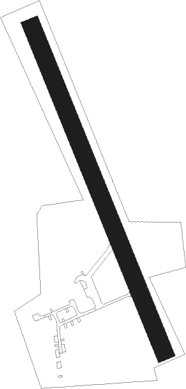
| Runway 16 / 34 | ||
| length | 886m (2907ft) | |
| bearing | 155° / 335° | |
| width | 46m (150ft) | |
| surface | grass | |
Nearby beacons
| code | identifier | dist | bearing | frequency |
|---|---|---|---|---|
| PNM | PRINCETON NDB | 12.7 | 173° | 368 |
| STC | SAINT CLOUD VOR/DME | 22.4 | 242° | 112.10 |
| ST | HUSSK (ST CLOUD) NDB | 22.7 | 228° | 342 |
| ROS | RUSH CITY NDB | 28.8 | 97° | 282 |
| XCR | RIPLEY NDB | 34.7 | 293° | 404 |
| GEP | GOPHER (MINNEAPOLIS) VORTAC | 39.4 | 157° | 117.30 |
| BR | LAREW (BRAINERD) NDB | 43.9 | 330° | 251 |
| DWN | DARWIN VORTAC | 53.8 | 230° | 109 |
| MSP | MINNEAPOLIS VOR/DME | 55.4 | 156° | 115.30 |
| FCM | FLYING CLOUD (MINNEAPOLIS VOR/DME | 57.6 | 169° | 117.70 |
Disclaimer
The information on this website is not for real aviation. Use this data with the X-Plane flight simulator only! Data taken with kind consent from X-Plane 12 source code and data files. Content is subject to change without notice.