Pollocksville - Oak Grove Mcolf
Airport details
| Country | United States of America |
| State | North Carolina |
| Region | |
| Airspace | Washington Ctr |
| Municipality | Jones County |
| Elevation | 24ft (7m) |
| Timezone | GMT -5 |
| Coordinates | 35.02308, -77.26397 |
| Magnetic var | |
| Type | land |
| Available since | X-Plane v10.40 |
| ICAO code | 13NC |
| IATA code | n/a |
| FAA code | 13NC |
Communication
| Oak Grove MCOLF CHERRY POINT Approach | 119.350 |
Nearby Points of Interest:
Foscue Plantation House
-Bryan-Bell Farm
-Bryan Lavender House
-Sanderson House
-Foscue and Simmons Plantations
-Grace Episcopal Church
-Dr. Earl S. Sloan House
-Ghent Historic District (New Bern, North Carolina)
-J.T. Barber School
-Mount Shiloh Missionary Baptist Church
-Bellair
-First Baptist Church
-Rue Chapel AME Church
-York-Gordon House
-Rhem-Waldrop House
-John Wright Stanly House
-New Bern Historic District
-Bryan House and Office
-Stevenson House
-Ebenezer Presbyterian Church
-Cedar Street Recreation Center
-First Missionary Baptist Church
-William Hollister House
-Benjamin Smith House
-Ulysses S. Mace House
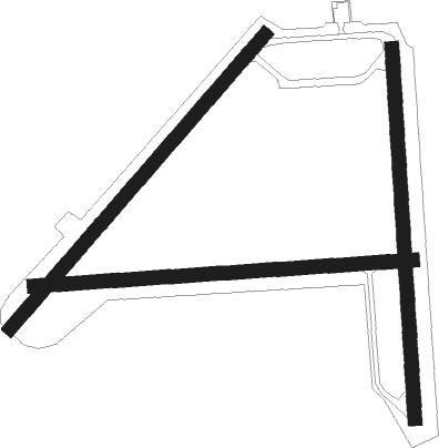
Runway info
Runway 9 / 27  | ||
| length | 1251m (4104ft) | |
| bearing | 91° / 271° | |
| width | 46m (150ft) | |
| surface | asphalt | |
| Runway 5 / 23 | ||
| length | 1281m (4203ft) | |
| bearing | 51° / 231° | |
| width | 46m (150ft) | |
| surface | asphalt | |
| Runway 1 / 19 | ||
| length | 1220m (4003ft) | |
| bearing | 1° / 181° | |
| width | 46m (150ft) | |
| surface | asphalt | |
Nearby beacons
| code | identifier | dist | bearing | frequency |
|---|---|---|---|---|
| EW | KAFTI (NEW BERN) NDB | 9 | 90° | 362 |
| EWN | NEW BERN VOR/DME | 11.1 | 77° | 113.60 |
| NKT | CHERRY POINT TACAN | 20.4 | 107° | 112.80 |
| NCA | NEW RIVER TACAN | 20.8 | 209° | 115.40 |
| IS | STALS (KINSTON) NDB | 25.1 | 297° | 276 |
| ISO | KINSTON VORTAC | 25.3 | 320° | 109.60 |
| OA | ELLAS (JACKSONVILLE) NDB | 27.1 | 238° | 261 |
| DIW | DIXON NDB | 28.8 | 203° | 198 |
| RNW | CHOCOWINITY NDB | 30.2 | 18° | 388 |
| GSB | SEYMOUR JOHNSON TACAN | 39.4 | 294° | 116.50 |
| AQE | ALWOOD (GREENVILLE) NDB | 41.4 | 351° | 230 |
| GM | WILZE NDB | 49.2 | 219° | 205 |
| ILM | WILMINGTON VORTAC | 50.3 | 222° | 117 |
| IL | AIRLI (WILMINGTON) NDB | 58.1 | 216° | 281 |
| TYI | TAR RIVER (ROCKY MOUNT) VORTAC | 61.1 | 335° | 117.80 |
Disclaimer
The information on this website is not for real aviation. Use this data with the X-Plane flight simulator only! Data taken with kind consent from X-Plane 12 source code and data files. Content is subject to change without notice.