Brewer
Airport details
| Country | United States of America |
| State | Maine |
| Region | |
| Airspace | Boston Ctr |
| Municipality | Brewer |
| Elevation | 124ft (38m) |
| Timezone | GMT -5 |
| Coordinates | 44.76152, -68.76715 |
| Magnetic var | |
| Type | land |
| Available since | X-Plane v10.40 |
| ICAO code | 0B2 |
| IATA code | n/a |
| FAA code | 0B2 |
Communication
Nearby Points of Interest:
Daniel Sargent House
-Zebulon Smith House
-Gen. John Williams House
-Adams-Pickering Block
-Wheelwright Block
-Charles W. Jenkins House
-Bangor Theological Seminary
-Wardwell-Trickey Double House
-Bangor Public Library
-Jonas Cutting–Edward Kent House
-Sargent-Roberts House
-Morse & Co. Office Building
-Charles G. Bryant Double House
-Jones P. Veazie House
-Bangor Fire Engine House No. 6
-Hampden Academy
-Dorothea Dix Psychiatric Center
-Orono Bog
-East Eddington Public Hall
-Winterport Historic District
-Nathaniel Treat House
-Old Fire Engine House
-Edith Marion Patch House
-Phineas Heywood House
-Buck Memorial Library
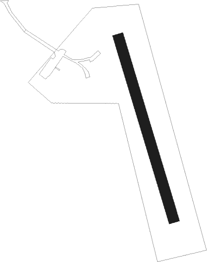
Runway info
| Runway 01 / 19 | ||
| length | 528m (1732ft) | |
| bearing | 343° / 163° | |
| width | 30m (100ft) | |
| surface | grass | |
Nearby beacons
| code | identifier | dist | bearing | frequency |
|---|---|---|---|---|
| BGR | BANGOR VORTAC | 6.6 | 307° | 114.80 |
| BUP | BURNHAM (PITTSFIELD) NDB | 25.5 | 264° | 348 |
| SUH | SPRUCEHEAD (OWLS HEAD) NDB | 45.1 | 205° | 356 |
| MLT | MILLINOCKET VOR/DME | 50.6 | 17° | 117.90 |
| LNT | MILNOT (MILLINOCKET) NDB | 54 | 14° | 344 |
Disclaimer
The information on this website is not for real aviation. Use this data with the X-Plane flight simulator only! Data taken with kind consent from X-Plane 12 source code and data files. Content is subject to change without notice.